Log in
All resources
Create a design
33,440 Free Images of 1736 Maps
charts and maps of the royal museums greenwich
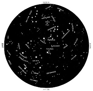
astronomical maps
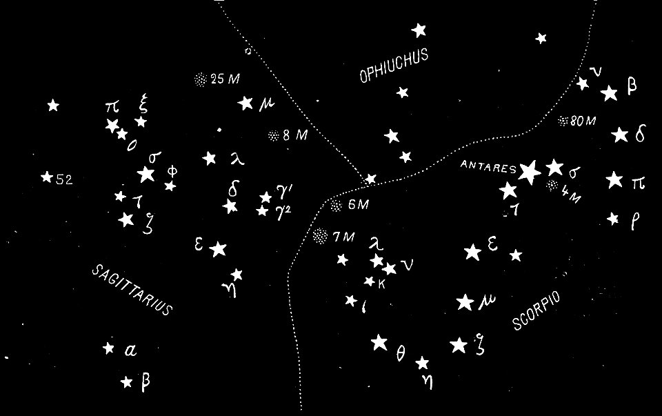
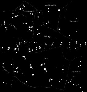
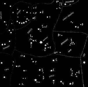
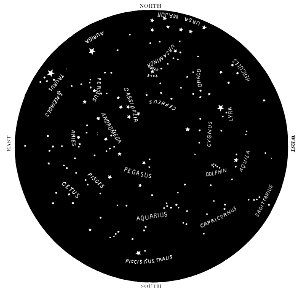
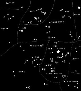
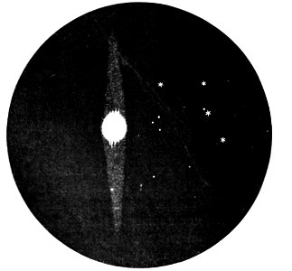
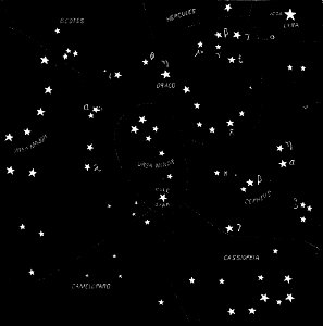
popular science monthly illustrations/volume 32
popular science monthly illustrations/volume 31
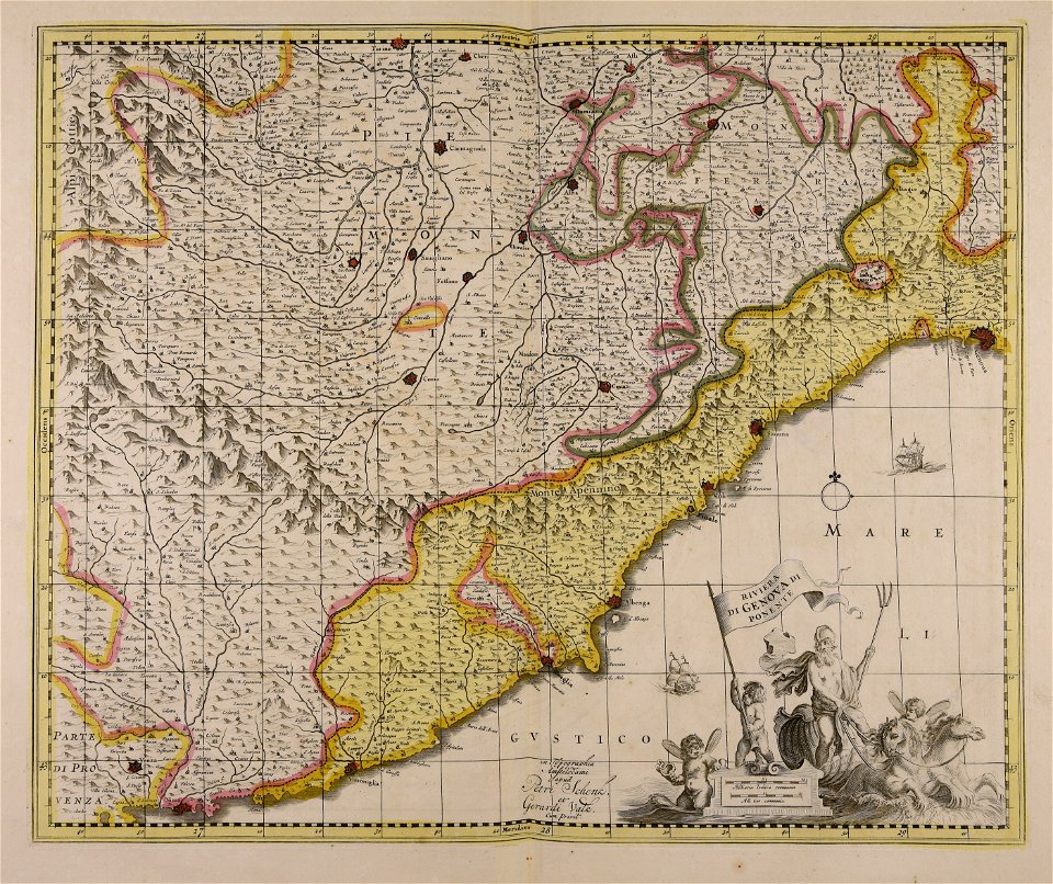
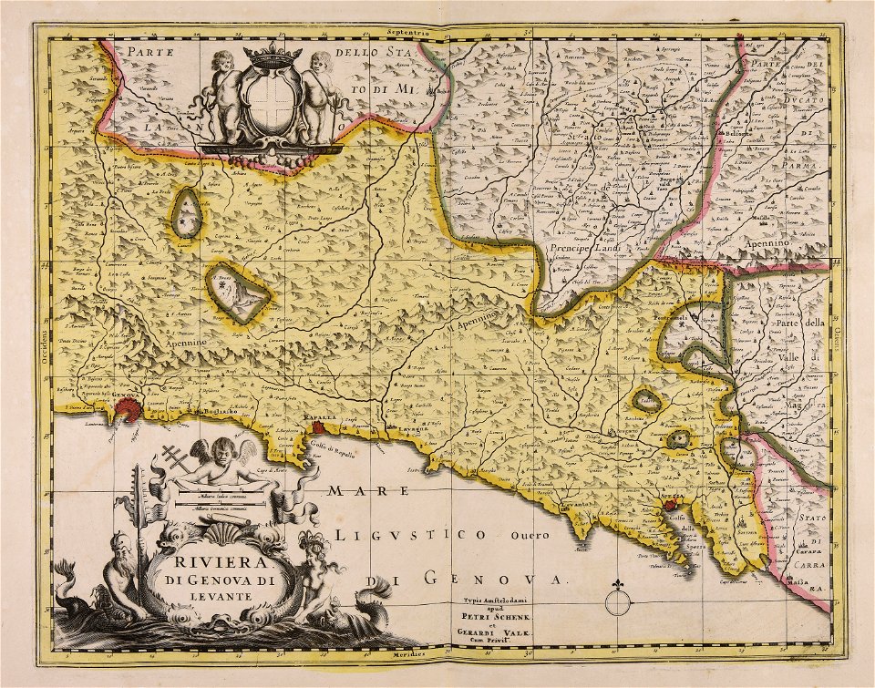
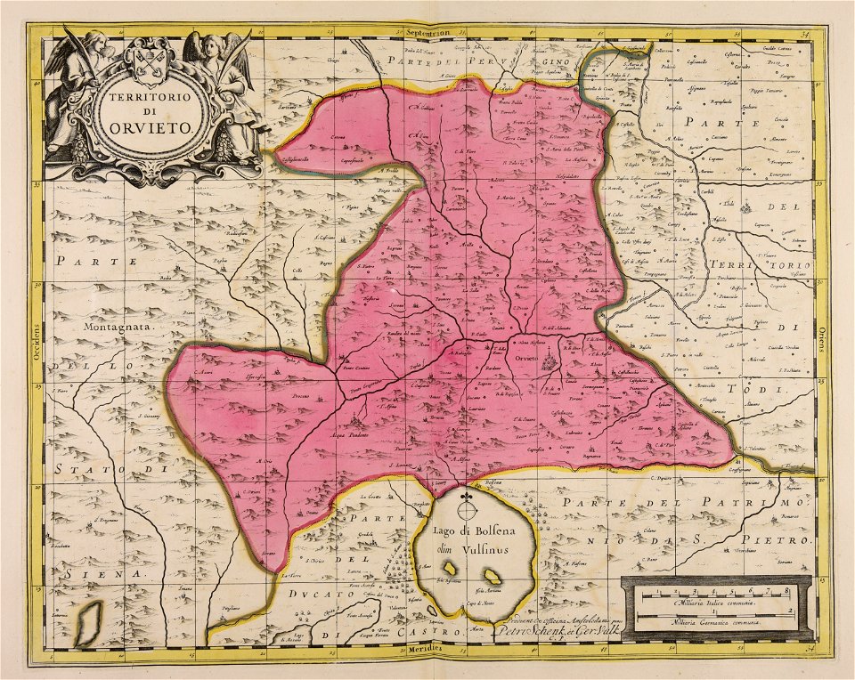
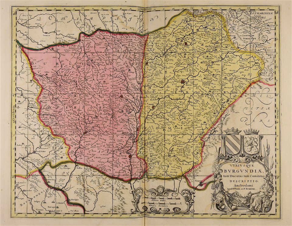
gerard valck
maps by pieter schenk (i)
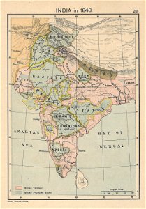
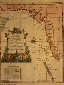
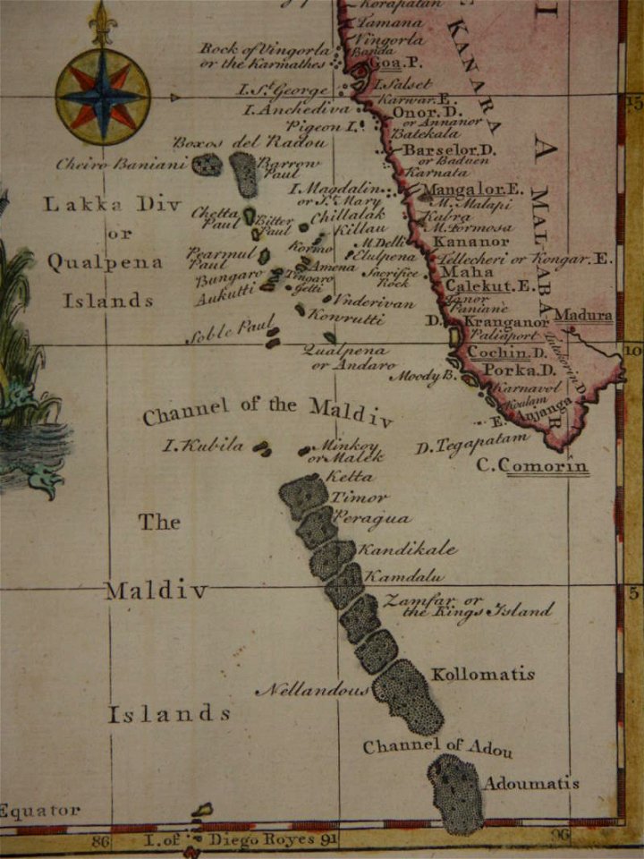
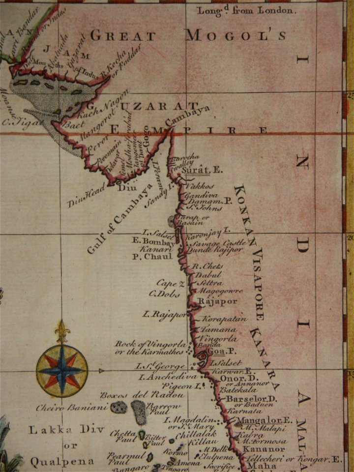
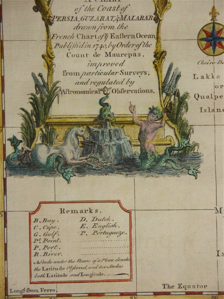
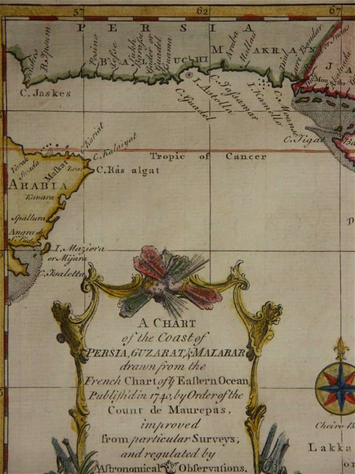
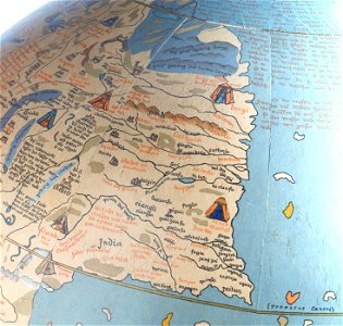
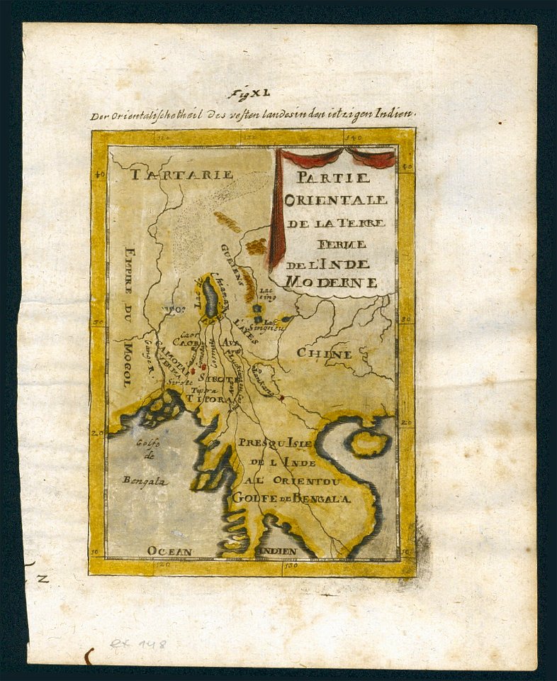
18th-century maps of india
thomas salmon (historian)
atlantis magni tomus quartus (biblioteca comunale di trento)
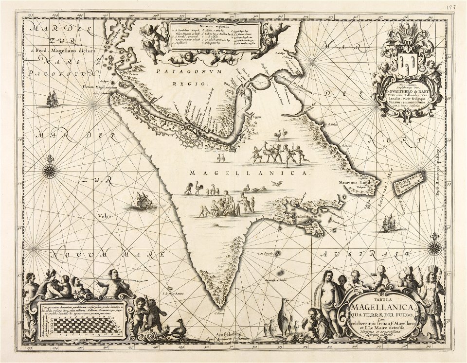
maps made in the 17th century
1848 in india
india
charts and maps of the royal museums greenwich
popular science monthly illustrations/volume 32
astronomical maps
popular science monthly illustrations/volume 32
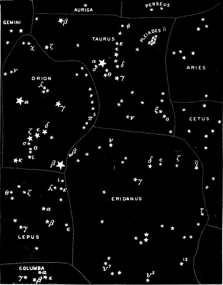
astronomical maps
popular science monthly illustrations/volume 32
astronomical maps
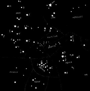
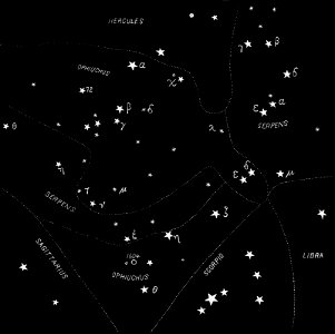
popular science monthly illustrations/volume 31
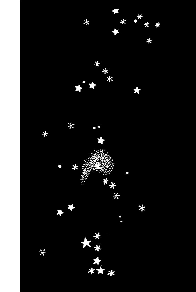
astronomical maps
popular science monthly illustrations/volume 32
astronomical maps
popular science monthly illustrations/volume 31
astronomical maps
popular science monthly illustrations/volume 32
astronomical maps
popular science monthly illustrations/volume 31
astronomical maps
popular science monthly illustrations/volume 32
astronomical maps
popular science monthly illustrations/volume 32
astronomical maps
popular science monthly illustrations/volume 32
astronomical maps
popular science monthly illustrations/volume 32
astronomical maps
popular science monthly illustrations/volume 31
astronomical maps
popular science monthly illustrations/volume 31
astronomical maps
popular science monthly illustrations/volume 31
astronomical maps
popular science monthly illustrations/volume 32
astronomical maps
popular science monthly illustrations/volume 32
astronomical maps
popular science monthly illustrations/volume 32
astronomical maps
popular science monthly illustrations/volume 32
astronomical maps
rhaetiae et valesiae
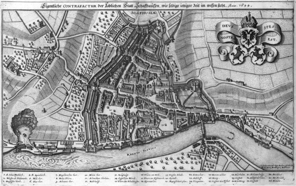
merian helvetiae
description des principales villes (1690)
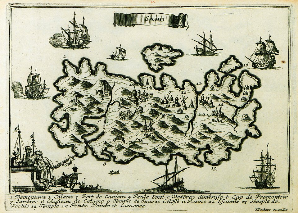
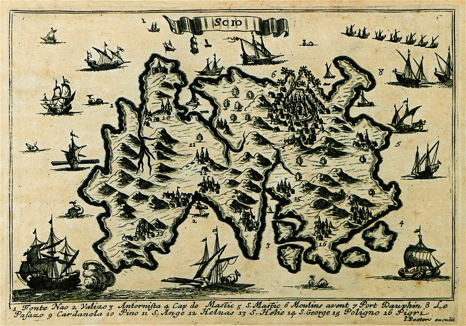
maps of samos
nicolas de fer
roussillon
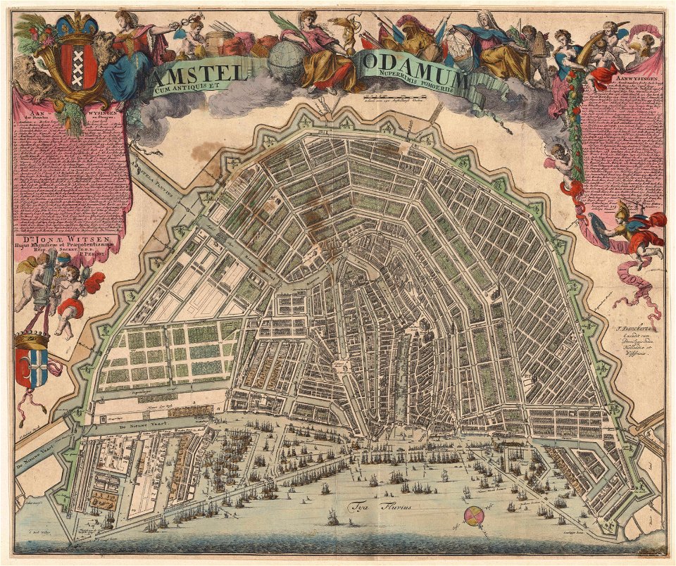
maps in the stadsarchief amsterdam
romeyn de hooghe
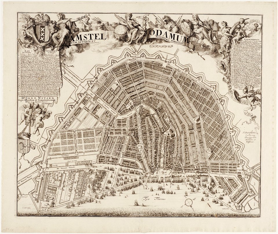
maps in the stadsarchief amsterdam
romeyn de hooghe
johann walch (engraver)
1805 engravings
description des principales villes (1690)
maps of chios
edi expedition
aceh war
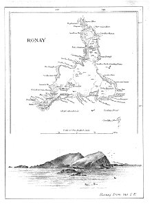
old maps of the outer hebrides
north rona
maps in the stadsarchief amsterdam
romeyn de hooghe
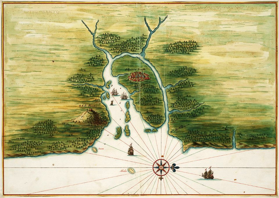
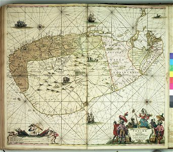
old maps of dutch brazil
1665
old maps of dutch brazil
itamaracá
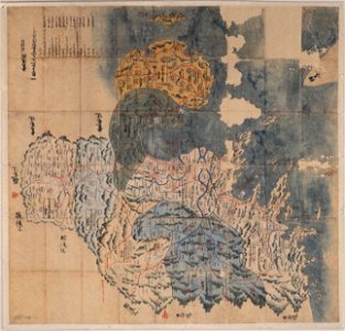
maps of osaka prefecture
settsu province
bungo province
keichō kuniezu
geographical illustrations by coronelli
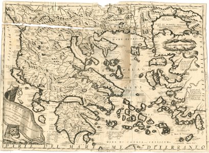
old maps of greece
liber insularum archipelagi (royal museums greenwich)
1420s maps
charts and maps of the royal museums greenwich
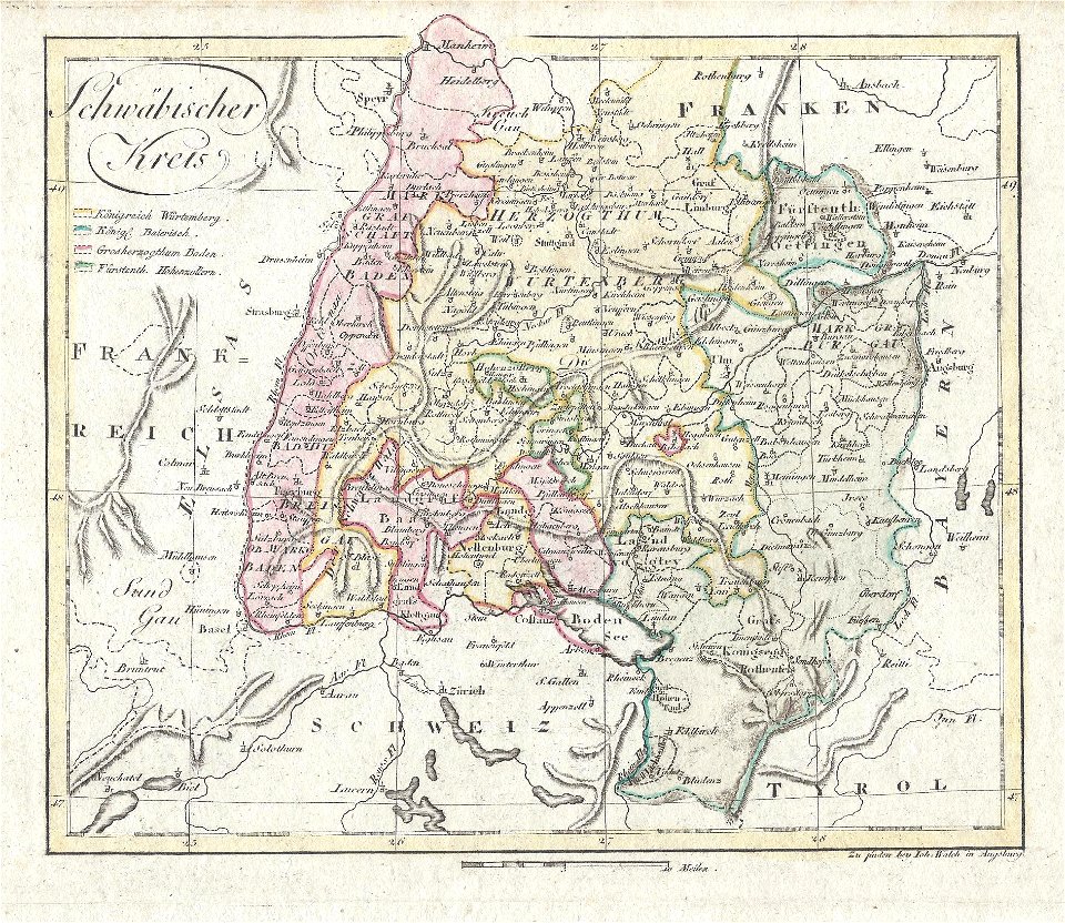
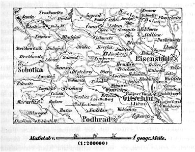
section schwarzenberg (1843)
oberreit
section schwarzenberg (1843)
oberreit
charts and maps of the royal museums greenwich
charts and maps of the royal museums greenwich
charts and maps of the royal museums greenwich
charts and maps of the royal museums greenwich
charts and maps of the royal museums greenwich
charts and maps of the royal museums greenwich
charts and maps of the royal museums greenwich
charts and maps of the royal museums greenwich
charts and maps of the royal museums greenwich
charts and maps of the royal museums greenwich
charts and maps of the royal museums greenwich
charts and maps of the royal museums greenwich
charts and maps of the royal museums greenwich
charts and maps of the royal museums greenwich
charts and maps of the royal museums greenwich
18th-century maps of india
thomas salmon (historian)
18th-century maps of india
thomas salmon (historian)
18th-century maps of india
thomas salmon (historian)
18th-century maps of india
thomas salmon (historian)
18th-century maps of india
thomas salmon (historian)
maps in the stadsarchief amsterdam
jan caspar philips
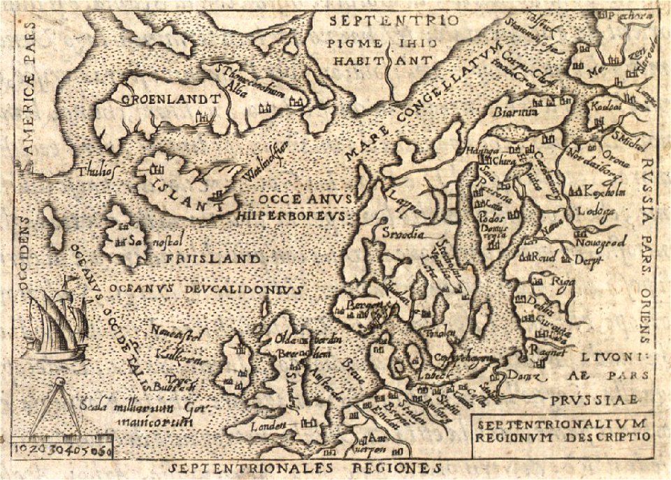
provided by landsbókasafn íslands
old maps of iceland
provided by landsbókasafn íslands
old maps of iceland
provided by landsbókasafn íslands
old maps of iceland
19th-century maps of stockholm
lidingö kommun
charts and maps of the royal museums greenwich
charts and maps of the royal museums greenwich
charts and maps of the royal museums greenwich
charts and maps of the royal museums greenwich
charts and maps of the royal museums greenwich
charts and maps of the royal museums greenwich
charts and maps of the royal museums greenwich
charts and maps of the royal museums greenwich
charts and maps of the royal museums greenwich
17th-century maps of the americas
scottish americans
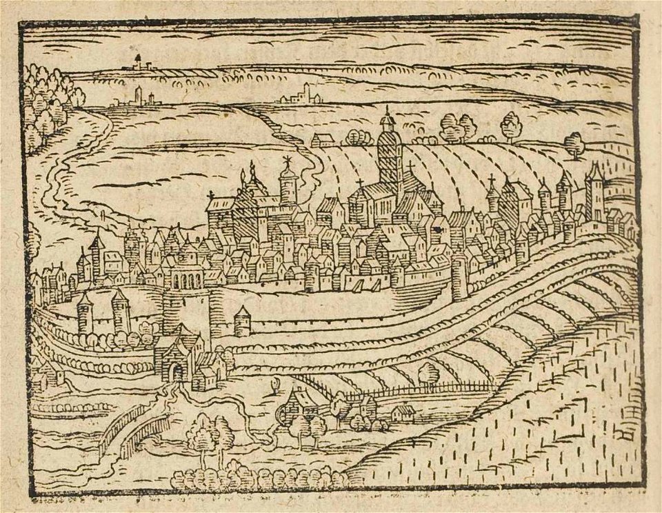
theatrum urbium (1610)
maps of schweinfurt
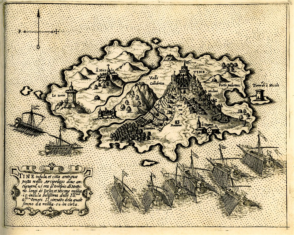
engravings of tinos
giovanni camocio
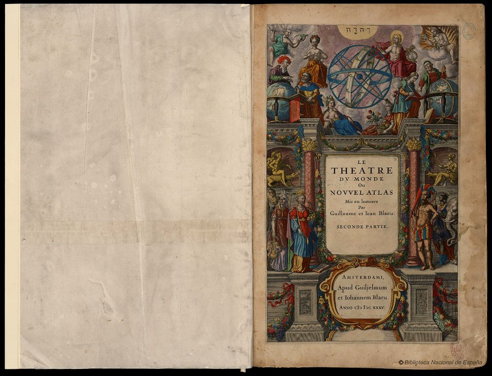
maps by willem and johannes blaeu
copper engraving
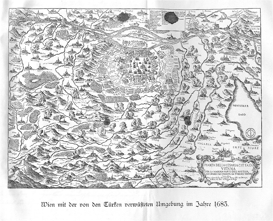
old maps of lower austria
battle of vienna
illustrations of cosmographia (münster)
old maps of rome
description de l'universe
1710s maps of the world
description de l'universe
old maps of saudi arabia
old maps of southeast asia
description de l'universe
1947 in jayapura
jayapura
great central fair (philadelphia)
1864 maps of philadelphia
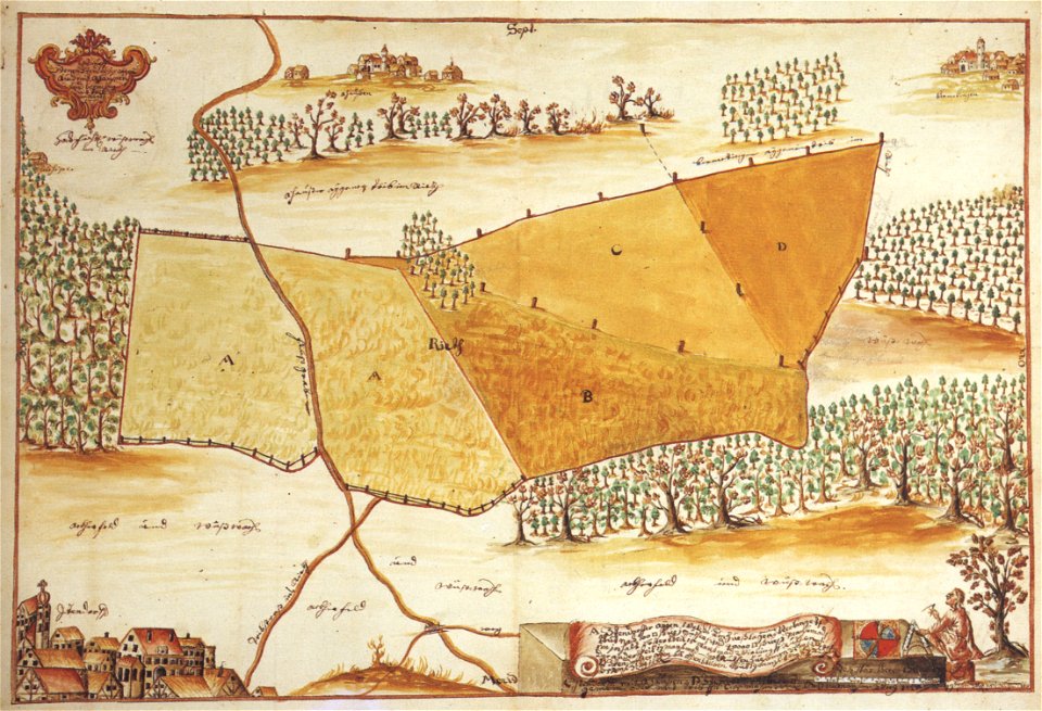
ittendorf
surveyor
maps from the mechanical curator collection available to georeference
maps from the mechanical curator collection
maps from the mechanical curator collection available to georeference
maps from the mechanical curator collection
maps from the mechanical curator collection available to georeference
maps from the mechanical curator collection
jean-baptiste wicar
neoclassicism
carta hydrographica y chorographica de las yslas filipinas
baroque painting
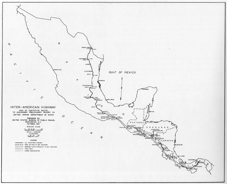
1933 in road transport
road map
maps by pieter schenk (i)
gerard valck
maps by pieter schenk (i)
gerard valck
maps made in the 17th century
gerard valck
temperance movement
jr
maps made in the 17th century
gerard valck
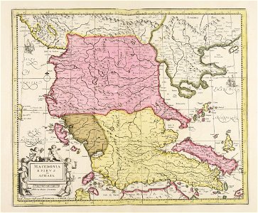
piedmont
lombardy
maps made in the 17th century
jan janssonius
maps made in the 17th century
gerard valck
6601 - 6700 of 33,440
Next page
/ 335